SITE ASSESSMENT AND EVALUATION
The site evaluation consists of three parts:


Preliminary Evaluation
Why do a Preliminary Evaluation?

While there is certainly no substitute for a field site evaluation, a preliminary evaluation provides useful knowledge about the site and allows the designer to work more efficiently in the field. Preliminary evaluation includes:
Gathering Information
Soil Survey Reports and Geologic Atlases
Property Limitations
1. Gathering Information
A complete site evaluation involves gathering and summarizing various types of information from multiple sources, which often takes significant time.
2. Soil Survey Reports & Geologic Atlases
Although the county soil survey cannot be used to determine the suitability of a site for an ISTS, it is an excellent source of soil and site information for the preliminary evaluation of sites.
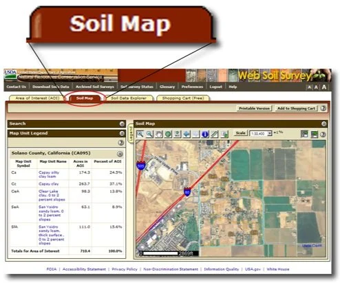
Online Soil Survey
Online soil surveys still present soil lines on a photographic background, indicating the boundaries between different soil types. These maps show the occurrence and distribution of each kind of soil.
Slope
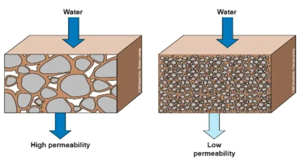
Permeability
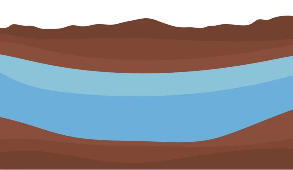
Water Table Depths
Soil Survey Reports & Geologic Atlases include checking of the following:
Soil Series Limitations
Slopes
Water Table Depths
Permeability
3. Property Limitation
Before beginning the field-based evaluation or physical investigation of the lot, determine the needs and wants of the property owner.
The major items for a designer to consider in developing a lot are the following:
Setbacks
Property Lines
Easements
Lakes, Rivers, Streams
Wells
Ownership
Zoning
Field Evaluation
A field-based site evaluation is the only way to accurately determine the actual conditions present on the site. A field evaluation should be done regardless of the favorable or unfavorable results of the preliminary evaluation.

Purpose:
Confirm actual on-site conditions
Required even with a favorable preliminary evaluation
Must include all stakeholders for effective discussion
Key Evaluation Elements

Surface and Lot Observations:
Define lot lines, easements, setbacks
Note slope, vegetation, flooding potential, cut/fill areas
Soil Observations:
Minimum 3 per area (6 if replacement area is separate)
Must reach bedrock, saturated layer, or 3 ft below system
Use undisturbed methods (soil pits, augers)
Soil Profile Descriptions Must Include:
Horizon depths, colors, texture, consistency
Depth to bedrock, standing water, and saturated soils
Design Consideration & Site Protection

Loading Rate & Absorption Area:
Determine via soil description or percolation tests (per LGU)
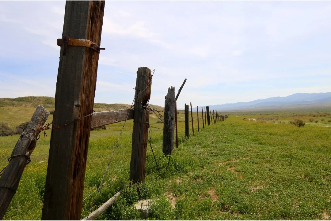
Protect the Site:
Fence or stake treatment area to prevent damage
Planning Ahead:
Document future use and access needs
Avoid steel slopes, depressions, drainage paths
Required: 2 suitable soil treatment areas for new lots
Always check with local permitting authority before finalizing design
Site Evaluation Report
As site information is collected, it must be organized and recorded for review to determine site suitability. Providing the required information to the designer of the system eliminates the need for additional site visits.
Percolation test and soil observation data are of little value if related test sites cannot be located on a property. It is essential to relate the property location to field-identifiable reference points and to be very specific about test hole locations relative to both fixed reference points and each test site. One possible approach is to identify the distances between each test site and two reference points, such as a well and the corner of a building.
Information should be recorded on forms provided such as preliminary evaluation, site map, field evaluation, percolation test and soil boring log forms. These forms should be duplicated and distributed to the permitting office and the client; a copy should be kept with the designer.